 vesseltracker.com
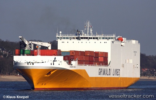
Vessel Grande Ghana IMO: 9343168, MMSI: 247264700 Vehicles Carrier
UTC, 52.41686, 4.77033, course: 163, speed: 0
UTC, 52.41685, 4.77030, course: 163, speed: 0
2026-01-13 17:33:53 UTC, 52.41686, 4.77028, course: 163, speed: 0
Live AIS position:
UTC. Near NAUERNA),
updated 2026-01-13 17:33:53 UTC.
Find the position of the vessel Grande Ghana on the map. The latter are known coordinates and path.
marine traffic ship tracker show on live map
The current position of vessel Grande Ghana is 52.41686 lat / 4.77028 lng. Updated: 2026-01-13 17:33:53 UTCCurrently sailing under the flag of Italy
Grande Ghana built in 2009 year
Deadweight:
25000 tDetails:
Last coordinates of the vessel:
UTC, 52.41689, 4.77034, course: 163, speed: 0UTC, 52.41686, 4.77033, course: 163, speed: 0
UTC, 52.41685, 4.77030, course: 163, speed: 0
2026-01-13 17:33:53 UTC, 52.41686, 4.77028, course: 163, speed: 0