 vesseltracker.com
Find the position of the vessel Mary A on the map. The latter are known coordinates and path.
marine traffic ship tracker show on live map
The current position of vessel Mary A is 50.7178 lat / -1.04014 lng. Updated: 2024-05-03 13:31:39 UTCCurrently sailing under the flag of Italy
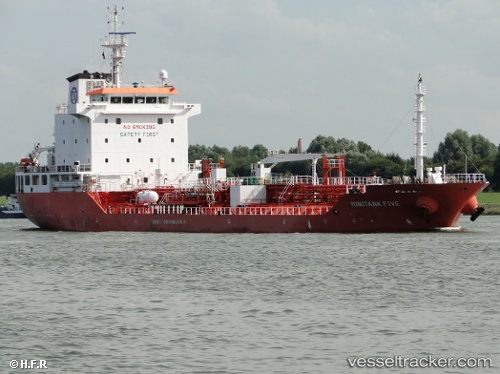
Mary A built in 2007 year
Port of registry:
Catania (city in Sicily, Italy)Speed:
11 knotDeadweight:
8084 tGross tonnage:
5573Service entry:
2007-01-01T00:00:00ZDetails:
Last coordinates of the vessel:
UTC, 50.7182, -1.04027, course: 252, speed: 0.1UTC, 50.7181, -1.04027, course: 255, speed: 0.1
UTC, 50.7179, -1.0401, course: 260, speed: 0
2024-05-03 13:31:39 UTC, 50.7178, -1.04014, course: 266, speed: 0.1