 vesseltracker.com
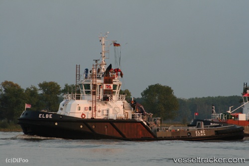
Vessel Elma C IMO: 9323156, MMSI: 247375100 Tug
UTC, 45.45569, 12.25219, course: 305, speed: 0
UTC, 45.46822, 12.26164, course: 90, speed: 0
2026-03-06 22:14:59 UTC, 45.45164, 12.25884, course: 356, speed: 2.1
Live Vessel Elma C Analytics (details, animations, etc.)
Live AIS position: UTC. Near Marghera), updated 2026-03-06 22:14:59 UTC.Find the position of the vessel Elma C on the map. The latter are known coordinates and path.
marine traffic ship tracker show on live map
The current position of vessel Elma C is 45.45164 lat / 12.25884 lng. Updated: 2026-03-06 22:14:59 UTCCurrently sailing under the flag of Italy
Elma C built in 2006 year
Deadweight:
242 tDetails:
Last coordinates of the vessel:
UTC, 45.45575, 12.25220, course: 305, speed: 0UTC, 45.45569, 12.25219, course: 305, speed: 0
UTC, 45.46822, 12.26164, course: 90, speed: 0
2026-03-06 22:14:59 UTC, 45.45164, 12.25884, course: 356, speed: 2.1