 vesseltracker.com
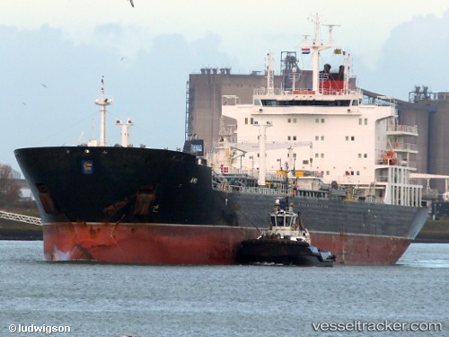
Vessel LADY RINA IMO: 9631383, MMSI: 247431600
UTC, 28.15360, -15.39865, course: 0, speed: 0
UTC, 28.15363, -15.39865, course: 0, speed: 0
2026-02-01 17:58:54 UTC, 28.15364, -15.39864, course: 0, speed: 0
Live AIS position:
UTC. Near Las Palmas),
updated 2026-02-01 17:58:54 UTC.
Find the position of the vessel LADY RINA on the map. The latter are known coordinates and path.
marine traffic ship tracker show on live map
The current position of vessel LADY RINA is 28.15364 lat / -15.39864 lng. Updated: 2026-02-01 17:58:54 UTCDetails:
Last coordinates of the vessel:
UTC, 28.15362, -15.39867, course: 0, speed: 0UTC, 28.15360, -15.39865, course: 0, speed: 0
UTC, 28.15363, -15.39865, course: 0, speed: 0
2026-02-01 17:58:54 UTC, 28.15364, -15.39864, course: 0, speed: 0