 vesseltracker.com
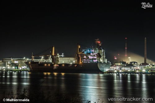
Find the position of the vessel '247436700' on the map. The latter are known coordinates and path.
marine traffic ship tracker show on live map
The current position of vessel '247436700' is 36.9517 lat / 10.4467 lng. Updated: 2024-04-29 21:29:12 UTCPort of registry:
Saint John's (capital city of Antigua and Barbuda)Speed:
12 knotPayload_mass:
8068.5 tonneGross tonnage:
5629Operator:
Reederei Wessels (transport company)Service entry:
2008-01-01T00:00:00ZManufacturer:
Jiangsu Yangzijiang Shipbuilding Co.,Ltd. (Chinese shipbuilding company)Details:
Last coordinates of the vessel:
UTC, 36.8102, 10.2879, course: 244, speed: 0.2UTC, 36.795, 10.4017, course: -1, speed: 9
UTC, 36.9517, 10.4467, course: -1, speed: 10
2024-04-29 21:29:12 UTC, 36.9517, 10.4467, course: -1, speed: 10