 vesseltracker.com
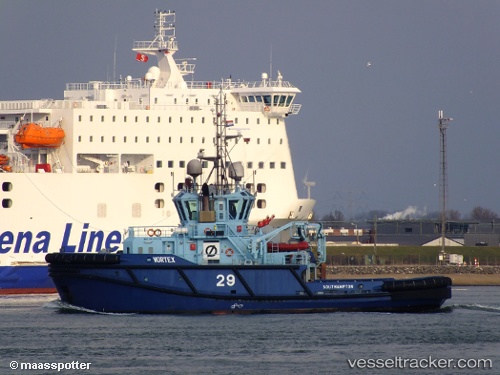
Vessel VITA C IMO: 9525508, MMSI: 247450300 Tug
UTC, 45.46810, 12.26236, course: 310, speed: 0
UTC, 45.46811, 12.26236, course: 309, speed: 0
2026-03-02 18:12:19 UTC, 45.46808, 12.26234, course: 308, speed: 0
Live AIS position:
UTC. Near Mestre),
updated 2026-03-02 18:12:19 UTC.
Find the position of the vessel VITA C on the map. The latter are known coordinates and path.
marine traffic ship tracker show on live map
The current position of vessel VITA C is 45.46808 lat / 12.26234 lng. Updated: 2026-03-02 18:12:19 UTCCurrently sailing under the flag of Italy
VITA C built in 2010 year
Deadweight:
570 tDetails:
Last coordinates of the vessel:
UTC, 45.46810, 12.26234, course: 309, speed: 0UTC, 45.46810, 12.26236, course: 310, speed: 0
UTC, 45.46811, 12.26236, course: 309, speed: 0
2026-03-02 18:12:19 UTC, 45.46808, 12.26234, course: 308, speed: 0