 vesseltracker.com
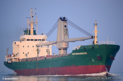
Vessel Simona IMO: 9437763, MMSI: 248018000 General Cargo Ship
UTC, 40.95667, 7.99667, course: -1, speed: 7
UTC, 40.61667, 7.88333, course: -1, speed: 9
2026-01-31 05:26:49 UTC, 40.45333, 7.93667, course: -1, speed: 8
Live AIS position:
UTC. 15 nm SW of Porto Conte Torre Nuova),
updated 2026-01-31 05:26:49 UTC.
Find the position of the vessel Simona on the map. The latter are known coordinates and path.
marine traffic ship tracker show on live map
The current position of vessel Simona is 40.45333 lat / 7.93667 lng. Updated: 2026-01-31 05:26:49 UTCCurrently sailing under the flag of Malta
Simona built in 2007 year
Deadweight:
6064 tDetails:
Last coordinates of the vessel:
UTC, 41.21833, 8.21333, course: -1, speed: 8UTC, 40.95667, 7.99667, course: -1, speed: 7
UTC, 40.61667, 7.88333, course: -1, speed: 9
2026-01-31 05:26:49 UTC, 40.45333, 7.93667, course: -1, speed: 8