 vesseltracker.com
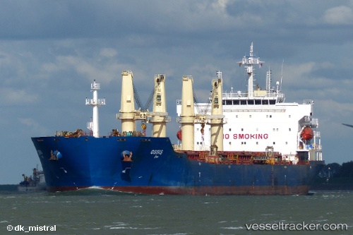
Vessel Osiris IMO: 9293674, MMSI: 248048000 Bulk Carrier
UTC, 38.72307, 119.20351, course: 106, speed: 12.2
UTC, 38.65006, 119.88781, course: 92, speed: 12.2
2026-01-13 14:59:59 UTC, 38.64485, 120.08744, course: 100, speed: 12.1
Live AIS position:
UTC. 51 nm W of Lushun New Pt),
updated 2026-01-13 14:59:59 UTC.
Find the position of the vessel Osiris on the map. The latter are known coordinates and path.
marine traffic ship tracker show on live map
The current position of vessel Osiris is 38.64485 lat / 120.08744 lng. Updated: 2026-01-13 14:59:59 UTCCurrently sailing under the flag of Malta
Osiris built in 2004 year
Deadweight:
53589 tDetails:
Last coordinates of the vessel:
UTC, 38.79085, 118.69440, course: 96, speed: 12.6UTC, 38.72307, 119.20351, course: 106, speed: 12.2
UTC, 38.65006, 119.88781, course: 92, speed: 12.2
2026-01-13 14:59:59 UTC, 38.64485, 120.08744, course: 100, speed: 12.1