 vesseltracker.com
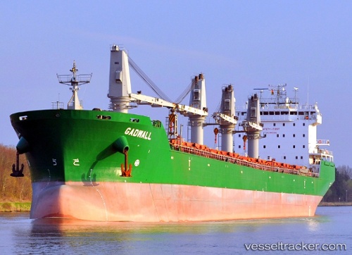
Vessel Maria G IMO: 9358369, MMSI: 248203000 Bulk Carrier
UTC, 41.19177, -8.69008, course: 233, speed: 0
UTC, 41.17942, -8.97240, course: 274, speed: 11.1
2026-03-10 19:30:32 UTC, 41.20501, -9.27284, course: 283, speed: 10.9
Live Vessel Maria G Analytics (details, animations, etc.)
Live AIS position: UTC. 25 nm SW of POVOA DE VARZIM), updated 2026-03-10 19:30:32 UTC.Find the position of the vessel Maria G on the map. The latter are known coordinates and path.
marine traffic ship tracker show on live map
The current position of vessel Maria G is 41.20501 lat / -9.27284 lng. Updated: 2026-03-10 19:30:32 UTCCurrently sailing under the flag of Malta
Maria G built in 2007 year
Deadweight:
37249 tDetails:
Last coordinates of the vessel:
UTC, 41.19179, -8.69004, course: 233, speed: 0UTC, 41.19177, -8.69008, course: 233, speed: 0
UTC, 41.17942, -8.97240, course: 274, speed: 11.1
2026-03-10 19:30:32 UTC, 41.20501, -9.27284, course: 283, speed: 10.9