 vesseltracker.com
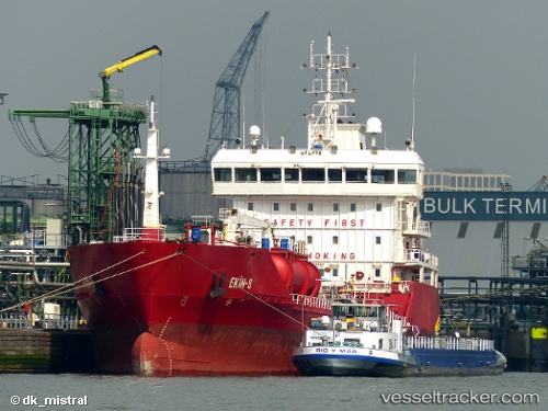
Vessel Key South IMO: 9479802, MMSI: 248221000 Chemical Oil Products Tanker
UTC, 59.19479, 10.94882, course: 334, speed: 0
UTC, 59.19477, 10.94891, course: 334, speed: 0
2026-01-16 20:47:34 UTC, 59.19477, 10.94885, course: 334, speed: 0
Live AIS position:
UTC. Near Fredrikstad),
updated 2026-01-16 20:47:34 UTC.
Find the position of the vessel Key South on the map. The latter are known coordinates and path.
marine traffic ship tracker show on live map
The current position of vessel Key South is 59.19477 lat / 10.94885 lng. Updated: 2026-01-16 20:47:34 UTCCurrently sailing under the flag of Malta
Key South built in 2010 year
Deadweight:
6412 tDetails:
Last coordinates of the vessel:
UTC, 59.19477, 10.94882, course: 334, speed: 0UTC, 59.19479, 10.94882, course: 334, speed: 0
UTC, 59.19477, 10.94891, course: 334, speed: 0
2026-01-16 20:47:34 UTC, 59.19477, 10.94885, course: 334, speed: 0