 vesseltracker.com
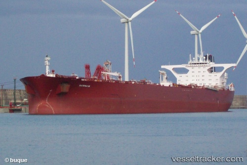
Vessel Marina M IMO: 9181194, MMSI: 249022000 Crude Oil Tanker
UTC, 40.76779, 29.54091, course: 42, speed: 0
UTC, 40.76777, 29.54091, course: 42, speed: 0
2026-01-26 02:09:56 UTC, 40.76781, 29.54089, course: 42, speed: 0
Live AIS position:
UTC. Near Yilport),
updated 2026-01-26 02:09:56 UTC.
Find the position of the vessel Marina M on the map. The latter are known coordinates and path.
marine traffic ship tracker show on live map
The current position of vessel Marina M is 40.76781 lat / 29.54089 lng. Updated: 2026-01-26 02:09:56 UTCDetails:
Last coordinates of the vessel:
UTC, 40.76780, 29.54090, course: 42, speed: 0UTC, 40.76779, 29.54091, course: 42, speed: 0
UTC, 40.76777, 29.54091, course: 42, speed: 0
2026-01-26 02:09:56 UTC, 40.76781, 29.54089, course: 42, speed: 0