 vesseltracker.com
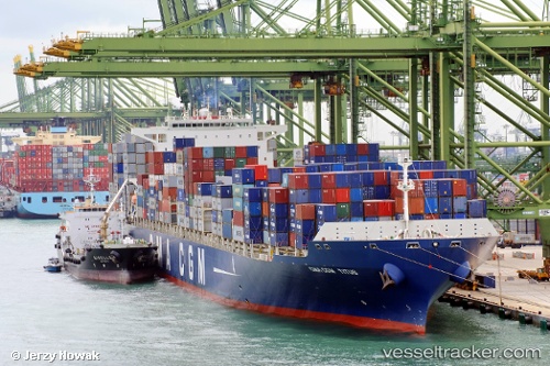
Vessel CMA CGM TITUS IMO: 9450636, MMSI: 249075000 Container Ship
UTC, 34.00473, 35.49414, course: 27, speed: 4.6
UTC, 34.00747, 35.51349, course: 179, speed: 0.2
2026-03-03 08:10:00 UTC, 34.01890, 35.48963, course: 304, speed: 0.2
Live AIS position:
UTC. Near Ad Dubayyah),
updated 2026-03-03 08:10:00 UTC.
Find the position of the vessel CMA CGM TITUS on the map. The latter are known coordinates and path.
marine traffic ship tracker show on live map
The current position of vessel CMA CGM TITUS is 34.01890 lat / 35.48963 lng. Updated: 2026-03-03 08:10:00 UTCCurrently sailing under the flag of Malta
Details:
Last coordinates of the vessel:
UTC, 33.98953, 35.49593, course: 197, speed: 1.5UTC, 34.00473, 35.49414, course: 27, speed: 4.6
UTC, 34.00747, 35.51349, course: 179, speed: 0.2
2026-03-03 08:10:00 UTC, 34.01890, 35.48963, course: 304, speed: 0.2