 vesseltracker.com
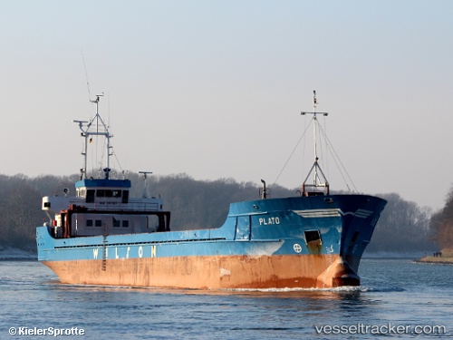
Vessel MB PINTO IMO: 8822636, MMSI: 249718000 General Cargo
UTC, 35.88544, 14.50699, course: 150, speed: 0
UTC, 35.88546, 14.50698, course: 149, speed: 0
2026-02-25 07:40:23 UTC, 35.88544, 14.50698, course: 148, speed: 0
Live AIS position:
UTC. Near Valletta),
updated 2026-02-25 07:40:23 UTC.
Find the position of the vessel MB PINTO on the map. The latter are known coordinates and path.
marine traffic ship tracker show on live map
The current position of vessel MB PINTO is 35.88544 lat / 14.50698 lng. Updated: 2026-02-25 07:40:23 UTCCurrently sailing under the flag of Malta
Details:
Last coordinates of the vessel:
UTC, 35.88544, 14.50699, course: 149, speed: 0UTC, 35.88544, 14.50699, course: 150, speed: 0
UTC, 35.88546, 14.50698, course: 149, speed: 0
2026-02-25 07:40:23 UTC, 35.88544, 14.50698, course: 148, speed: 0