 vesseltracker.com
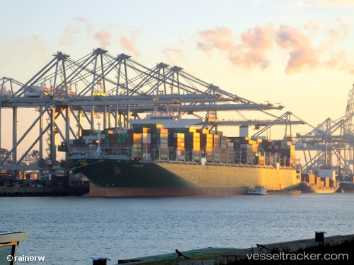
Vessel Talos IMO: 9728930, MMSI: 249769000 Container Ship
UTC, 2.82484, 101.24393, course: 190, speed: 9.9
UTC, 2.55782, 101.45184, course: 128, speed: 13.4
2026-03-02 07:58:44 UTC, 2.29834, 101.77878, course: 128, speed: 16.9
Live AIS position:
UTC. 13 nm S of PORT DICKSON),
updated 2026-03-02 07:58:44 UTC.
Find the position of the vessel Talos on the map. The latter are known coordinates and path.
marine traffic ship tracker show on live map
The current position of vessel Talos is 2.29834 lat / 101.77878 lng. Updated: 2026-03-02 07:58:44 UTCDetails:
Last coordinates of the vessel:
UTC, 2.91805, 101.28454, course: 209, speed: 0.1UTC, 2.82484, 101.24393, course: 190, speed: 9.9
UTC, 2.55782, 101.45184, course: 128, speed: 13.4
2026-03-02 07:58:44 UTC, 2.29834, 101.77878, course: 128, speed: 16.9