 vesseltracker.com
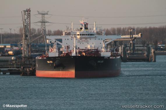
Vessel Malibu IMO: 9776731, MMSI: 249811000 Crude Oil Tanker
UTC, 44.61427, 37.96274, course: 65, speed: 38.9
UTC, 44.61427, 37.96274, course: 65, speed: 38.9
2026-03-11 09:07:33 UTC, 44.61427, 37.96274, course: 65, speed: 38.9
Live Vessel Malibu Analytics (details, animations, etc.)
Live AIS position: UTC. Near GELENDZHIK), updated 2026-03-11 09:07:33 UTC.Find the position of the vessel Malibu on the map. The latter are known coordinates and path.
marine traffic ship tracker show on live map
The current position of vessel Malibu is 44.61427 lat / 37.96274 lng. Updated: 2026-03-11 09:07:33 UTCDetails:
Last coordinates of the vessel:
UTC, 44.62239, 37.80859, course: -1, speed: 0.8UTC, 44.61427, 37.96274, course: 65, speed: 38.9
UTC, 44.61427, 37.96274, course: 65, speed: 38.9
2026-03-11 09:07:33 UTC, 44.61427, 37.96274, course: 65, speed: 38.9