 vesseltracker.com
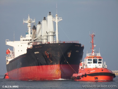
Vessel Honorine IMO: 9146974, MMSI: 249895000 Bulk Carrier
Live Vessel Honorine Analytics (details, animations, etc.)
Live AIS position: UTC. Near MIDIA), updated 2026-02-24 11:27:17 UTC.Find the position of the vessel Honorine on the map. The latter are known coordinates and path.
marine traffic ship tracker show on live map
The current position of vessel Honorine is 44.33781 lat / 28.67629 lng. Updated: 2026-02-24 11:27:17 UTCCurrently sailing under the flag of Malta
Honorine built in 1996 year
Deadweight:
28542 tDetails:
Last coordinates of the vessel:
2026-02-24 11:27:17 UTC, 44.33781, 28.67629, course: 2, speed: 0.1