 vesseltracker.com
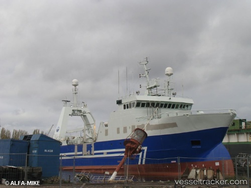
Live AIS position:
64.15551° N, 21.93794° W UTC. Near Reykjavik),
updated 2025-11-21 07:43:47 UTC.
Find the position of the vessel Helga Maria on the map. The latter are known coordinates and path.
marine traffic ship tracker show on live map
The current position of vessel Helga Maria is 64.15551 lat / -21.93794 lng. Updated: 2025-11-21 07:43:47 UTCDetails:
Last coordinates of the vessel:
UTC, 64.15550, -21.93791, course: 325, speed: 0UTC, 64.15553, -21.93790, course: 325, speed: 0
UTC, 64.15553, -21.93794, course: 326, speed: 0
2025-11-21 07:43:47 UTC, 64.15551, -21.93794, course: 325, speed: 0