 vesseltracker.com
Find the position of the vessel VERSUTIUS on the map. The latter are known coordinates and path.
marine traffic ship tracker show on live map
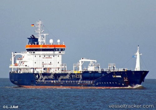
The current position of vessel VERSUTIUS is 50.8416 lat / -1.33251 lng. Updated: 2024-04-28 09:21:42 UTCCurrently sailing under the flag of Luxembourg
VERSUTIUS built in 2008 year
Port of registry:
Gibraltar (British Overseas Territory)Deadweight:
5757 tPayload_mass:
5757 tonneGross tonnage:
3992Beam:
17 metreService entry:
2008-01-01T00:00:00ZDetails:
Last coordinates of the vessel:
UTC, 50.7553, -1.11842, course: 303, speed: 6.1UTC, 50.8417, -1.33245, course: 320, speed: 0
UTC, 50.8417, -1.33245, course: 320, speed: 0
2024-04-28 09:21:42 UTC, 50.8416, -1.33251, course: 320, speed: 0