 vesseltracker.com
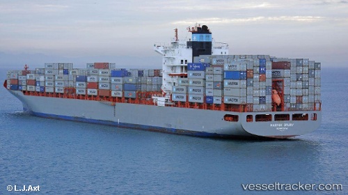
Vessel MSC TAMPICO IMO: 9317937, MMSI: 255790000 Container Ship
UTC, 6.94601, 79.83751, course: 269, speed: 0
UTC, 6.94604, 79.83735, course: 269, speed: 0
2026-02-26 11:21:44 UTC, 6.94500, 79.83667, course: -1, speed: 0
Live AIS position:
UTC. Near Colombo),
updated 2026-02-26 11:21:44 UTC.
Find the position of the vessel MSC TAMPICO on the map. The latter are known coordinates and path.
marine traffic ship tracker show on live map
The current position of vessel MSC TAMPICO is 6.94500 lat / 79.83667 lng. Updated: 2026-02-26 11:21:44 UTCCurrently sailing under the flag of Portugal (MAR)
MSC TAMPICO built in 2006 year
Deadweight:
65965 tDetails:
Last coordinates of the vessel:
UTC, 6.94600, 79.83752, course: 269, speed: 0UTC, 6.94601, 79.83751, course: 269, speed: 0
UTC, 6.94604, 79.83735, course: 269, speed: 0
2026-02-26 11:21:44 UTC, 6.94500, 79.83667, course: -1, speed: 0