 vesseltracker.com
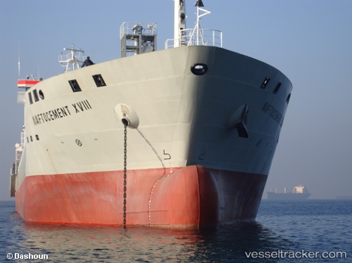
Find the position of the vessel YANG A on the map. The latter are known coordinates and path.
marine traffic ship tracker show on live map
The current position of vessel YANG A is 5.01821 lat / 118.35 lng. Updated: 2025-07-12 06:22:12 UTCCurrently sailing under the flag of Portugal (MAR)
YANG A built in 2009 year
Deadweight:
15500 tDetails:
Last coordinates of the vessel:
UTC, 5.01821, 118.35, course: 165, speed: 0UTC, 5.0182, 118.35, course: 165, speed: 0
UTC, 5.01821, 118.35, course: 165, speed: 0
2025-07-12 06:22:12 UTC, 5.01821, 118.35, course: 164, speed: 0