 vesseltracker.com
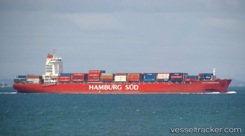
Vessel ESL ASANTE IMO: 9670822, MMSI: 255802340 Container Ship
UTC, 31.33537, 121.66010, course: 123, speed: 0
UTC, 31.33536, 121.66015, course: 123, speed: 0
2026-02-22 06:00:41 UTC, 31.33540, 121.66020, course: 123, speed: 0
Live AIS position:
UTC. Near Gonglu),
updated 2026-02-22 06:00:41 UTC.
Find the position of the vessel ESL ASANTE on the map. The latter are known coordinates and path.
marine traffic ship tracker show on live map
The current position of vessel ESL ASANTE is 31.33540 lat / 121.66020 lng. Updated: 2026-02-22 06:00:41 UTCCurrently sailing under the flag of Portugal (MAR)
ESL ASANTE built in 2013 year
Deadweight:
51759 tDetails:
Last coordinates of the vessel:
UTC, 31.33533, 121.66017, course: 123, speed: 0UTC, 31.33537, 121.66010, course: 123, speed: 0
UTC, 31.33536, 121.66015, course: 123, speed: 0
2026-02-22 06:00:41 UTC, 31.33540, 121.66020, course: 123, speed: 0