 vesseltracker.com
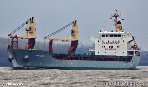
Vessel SIDER LONDON IMO: 9528706, MMSI: 255802770 General Cargo Ship
UTC, 36.81282, 10.29610, course: 126, speed: 0
UTC, 36.81282, 10.29610, course: 126, speed: 0
2026-01-19 23:56:23 UTC, 36.81280, 10.29609, course: 126, speed: 0
Live AIS position:
UTC. Near Le Kram),
updated 2026-01-19 23:56:23 UTC.
Find the position of the vessel SIDER LONDON on the map. The latter are known coordinates and path.
marine traffic ship tracker show on live map
The current position of vessel SIDER LONDON is 36.81280 lat / 10.29609 lng. Updated: 2026-01-19 23:56:23 UTCCurrently sailing under the flag of Portugal (MAR)
SIDER LONDON built in 2009 year
Deadweight:
14121 tDetails:
Last coordinates of the vessel:
UTC, 36.81167, 10.29500, course: -1, speed: 0UTC, 36.81282, 10.29610, course: 126, speed: 0
UTC, 36.81282, 10.29610, course: 126, speed: 0
2026-01-19 23:56:23 UTC, 36.81280, 10.29609, course: 126, speed: 0