 vesseltracker.com
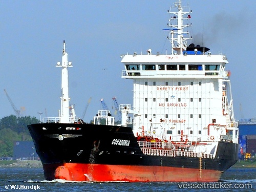
Find the position of the vessel Covadonga on the map. The latter are known coordinates and path.
marine traffic ship tracker show on live map
The current position of vessel Covadonga is 45.1755 lat / 29.1449 lng. Updated: 2024-05-02 03:19:56 UTCCurrently sailing under the flag of Portugal
Covadonga built in 2005 year
Speed:
14.1 knotDeadweight:
6968 tPayload_mass:
6968 tonneGross tonnage:
4816Service entry:
2005-01-01T00:00:00ZDetails:
Last coordinates of the vessel:
UTC, 45.195, 28.8733, course: -1, speed: 0UTC, 45.1953, 28.8738, course: 308, speed: 0
UTC, 45.1953, 28.8738, course: 308, speed: 0
2024-05-02 03:19:56 UTC, 45.1755, 29.1449, course: 65, speed: 9.6