 vesseltracker.com
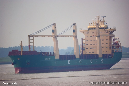
Vessel African Wind IMO: 9423633, MMSI: 255805550 Multi Purpose Carrier
UTC, 53.35222, 7.19903, course: 53, speed: 0
UTC, 53.35221, 7.19916, course: 53, speed: 0
2026-03-03 21:18:43 UTC, 53.35223, 7.19902, course: -1, speed: 0
Live AIS position:
UTC. Near Emden),
updated 2026-03-03 21:18:43 UTC.
Find the position of the vessel African Wind on the map. The latter are known coordinates and path.
marine traffic ship tracker show on live map
The current position of vessel African Wind is 53.35223 lat / 7.19902 lng. Updated: 2026-03-03 21:18:43 UTCCurrently sailing under the flag of Portugal
African Wind built in 2010 year
Deadweight:
28450 tDetails:
Last coordinates of the vessel:
UTC, 53.35227, 7.19924, course: 53, speed: 0UTC, 53.35222, 7.19903, course: 53, speed: 0
UTC, 53.35221, 7.19916, course: 53, speed: 0
2026-03-03 21:18:43 UTC, 53.35223, 7.19902, course: -1, speed: 0