 vesseltracker.com
Find the position of the vessel Vera D on the map. The latter are known coordinates and path.
marine traffic ship tracker show on live map
The current position of vessel Vera D is 17.0521 lat / -17.9403 lng. Updated: 2025-08-02 10:22:14 UTCCurrently sailing under the flag of Portugal
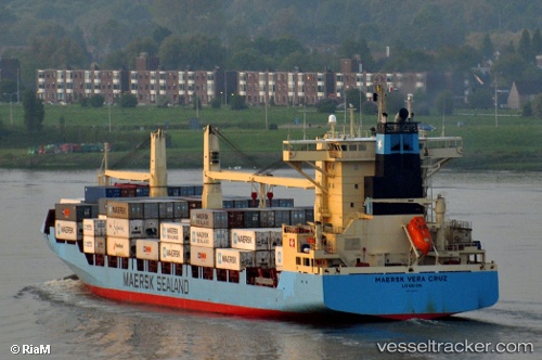
Vera D built in 2004 year
Deadweight:
22513 tDetails:
Last coordinates of the vessel:
UTC, 16.5123, -17.9512, course: 0, speed: 13.4UTC, 16.6929, -17.9514, course: 359, speed: 12.8
UTC, 17.0521, -17.9403, course: 356, speed: 12.9
2025-08-02 10:22:14 UTC, 17.0521, -17.9403, course: 356, speed: 12.9