 vesseltracker.com
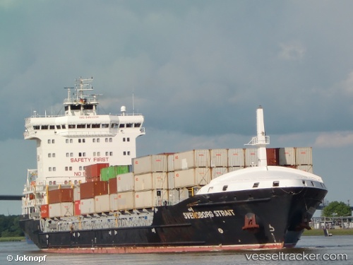
Vessel Svendborg IMO: 9454230, MMSI: 255805594 Container Ship
UTC, 54.14775, 9.35778, course: 57, speed: 6.9
UTC, 54.28783, 9.65080, course: 64, speed: 6.9
2026-03-17 03:52:39 UTC, 54.34425, 9.92054, course: 114, speed: 6.8
Live Vessel Svendborg Analytics (details, animations, etc.)
Live AIS position: UTC. Near Achterwehr), updated 2026-03-17 03:52:39 UTC.Find the position of the vessel Svendborg on the map. The latter are known coordinates and path.
marine traffic ship tracker show on live map
The current position of vessel Svendborg is 54.34425 lat / 9.92054 lng. Updated: 2026-03-17 03:52:39 UTCCurrently sailing under the flag of Portugal
Svendborg built in 2011 year
Deadweight:
14220 tDetails:
Last coordinates of the vessel:
UTC, 53.94407, 9.22651, course: 38, speed: 6.6UTC, 54.14775, 9.35778, course: 57, speed: 6.9
UTC, 54.28783, 9.65080, course: 64, speed: 6.9
2026-03-17 03:52:39 UTC, 54.34425, 9.92054, course: 114, speed: 6.8