 vesseltracker.com
Find the position of the vessel Barbara P on the map. The latter are known coordinates and path.
marine traffic ship tracker show on live map
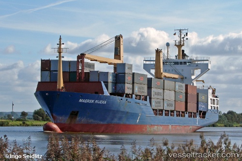
The current position of vessel Barbara P is 41.3271 lat / 2.19298 lng. Updated: 2024-05-03 06:19:15 UTCCurrently sailing under the flag of Portugal
Barbara P built in 1997 year
Port of registry:
Madeira (Autonomous Region of Portugal in the archipelago of Madeira)Deadweight:
12950 tPayload_mass:
12950 tonneGross tonnage:
9991Service entry:
1997-01-01T00:00:00ZManufacturer:
Pella Sietas
Details:
Last coordinates of the vessel:
UTC, 41.3257, 2.20088, course: 56, speed: 0.1UTC, 41.3253, 2.20215, course: 342, speed: 0.1
UTC, 41.3254, 2.20199, course: 342, speed: 0.2
2024-05-03 06:19:15 UTC, 41.3271, 2.19298, course: 248, speed: 3.1