 vesseltracker.com
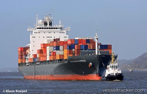
Vessel Venetia IMO: 9400203, MMSI: 255805657 Container Ship
UTC, 50.89072, 1.26310, course: 232, speed: 13.8
UTC, 50.61277, 0.68732, course: 230, speed: 12.6
2026-01-28 17:27:52 UTC, 50.51238, 0.31248, course: 255, speed: 13.2
Live AIS position:
UTC. 15 nm S of Eastbourne),
updated 2026-01-28 17:27:52 UTC.
Find the position of the vessel Venetia on the map. The latter are known coordinates and path.
marine traffic ship tracker show on live map
The current position of vessel Venetia is 50.51238 lat / 0.31248 lng. Updated: 2026-01-28 17:27:52 UTCCurrently sailing under the flag of Portugal
Venetia built in 2010 year
Deadweight:
52788 tDetails:
Last coordinates of the vessel:
UTC, 51.27730, 1.85006, course: 217, speed: 13.9UTC, 50.89072, 1.26310, course: 232, speed: 13.8
UTC, 50.61277, 0.68732, course: 230, speed: 12.6
2026-01-28 17:27:52 UTC, 50.51238, 0.31248, course: 255, speed: 13.2