 vesseltracker.com
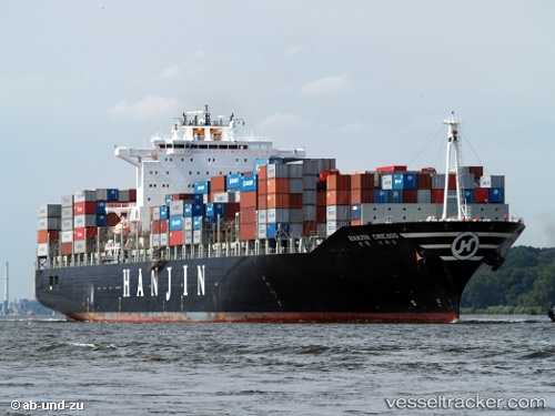
Vessel Maersk Yangtze IMO: 9248162, MMSI: 255805676 Container Ship
UTC, 40.72568, 3.45797, course: 118, speed: 14
UTC, 40.50659, 3.96537, course: 118, speed: 14
2026-02-27 10:23:03 UTC, 40.17599, 4.72875, course: 119, speed: 12.7
Live AIS position:
UTC. 24 nm N of San Martín De Pusa),
updated 2026-02-27 10:23:03 UTC.
Find the position of the vessel Maersk Yangtze on the map. The latter are known coordinates and path.
marine traffic ship tracker show on live map
The current position of vessel Maersk Yangtze is 40.17599 lat / 4.72875 lng. Updated: 2026-02-27 10:23:03 UTCDetails:
Last coordinates of the vessel:
UTC, 40.92243, 2.96273, course: 118, speed: 13.3UTC, 40.72568, 3.45797, course: 118, speed: 14
UTC, 40.50659, 3.96537, course: 118, speed: 14
2026-02-27 10:23:03 UTC, 40.17599, 4.72875, course: 119, speed: 12.7