 vesseltracker.com
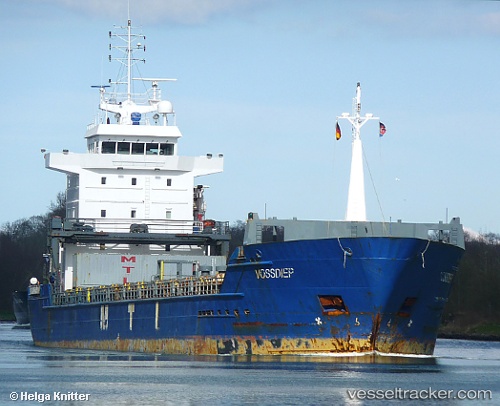
Vessel Gures IMO: 9277307, MMSI: 255805981 Multi Purpose Carrier
UTC, 53.89312, 10.69535, course: 182, speed: 0
UTC, 53.89312, 10.69539, course: 182, speed: 0
2026-02-18 08:30:34 UTC, 53.89312, 10.69534, course: 182, speed: 0
Live AIS position:
UTC. Near Lubeck),
updated 2026-02-18 08:30:34 UTC.
Find the position of the vessel Gures on the map. The latter are known coordinates and path.
marine traffic ship tracker show on live map
The current position of vessel Gures is 53.89312 lat / 10.69534 lng. Updated: 2026-02-18 08:30:34 UTCCurrently sailing under the flag of Portugal
Gures built in 2003 year
Deadweight:
7250 tDetails:
Last coordinates of the vessel:
UTC, 53.89311, 10.69537, course: 181, speed: 0UTC, 53.89312, 10.69535, course: 182, speed: 0
UTC, 53.89312, 10.69539, course: 182, speed: 0
2026-02-18 08:30:34 UTC, 53.89312, 10.69534, course: 182, speed: 0