 vesseltracker.com
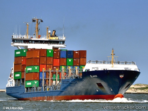
Vessel Oeland IMO: 9277400, MMSI: 255806008 Container Ship
UTC, 14.68726, -17.42765, course: 333, speed: 0
UTC, 14.68729, -17.42766, course: 333, speed: 0
2026-01-18 09:23:07 UTC, 14.68727, -17.42764, course: 333, speed: 0
Live AIS position:
UTC. Near Dakar),
updated 2026-01-18 09:23:07 UTC.
Find the position of the vessel Oeland on the map. The latter are known coordinates and path.
marine traffic ship tracker show on live map
The current position of vessel Oeland is 14.68727 lat / -17.42764 lng. Updated: 2026-01-18 09:23:07 UTCCurrently sailing under the flag of Portugal
Oeland built in 2003 year
Deadweight:
8635 tDetails:
Last coordinates of the vessel:
UTC, 14.66400, -17.37357, course: 340, speed: 1.4UTC, 14.68726, -17.42765, course: 333, speed: 0
UTC, 14.68729, -17.42766, course: 333, speed: 0
2026-01-18 09:23:07 UTC, 14.68727, -17.42764, course: 333, speed: 0