 vesseltracker.com
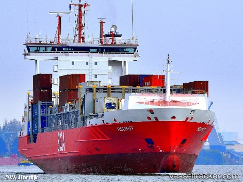
Find the position of the vessel Helmut on the map. The latter are known coordinates and path.
marine traffic ship tracker show on live map
The current position of vessel Helmut is 37.03317 lat / 15.46583 lng. Updated: 2025-11-14 09:47:49 UTCCurrently sailing under the flag of Portugal
Helmut built in 2006 year
Deadweight:
11272 tDetails:
Last coordinates of the vessel:
UTC, 37.67217, 15.50133, course: 182, speed: 15UTC, 37.59101, 15.49817, course: 182, speed: 14.7
UTC, 37.32833, 15.48267, course: 183, speed: 15.1
2025-11-14 09:47:49 UTC, 37.03317, 15.46583, course: 180, speed: 14.6