 vesseltracker.com
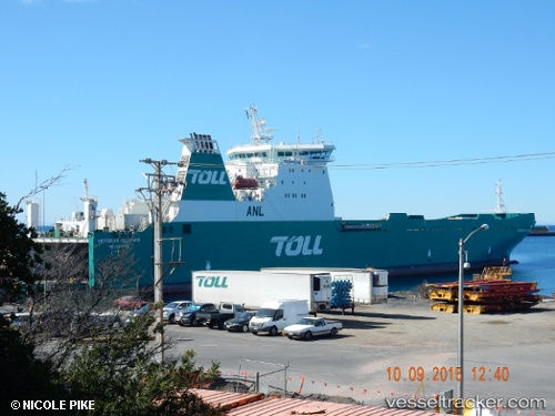
Vessel 'JOLLY BLUE' IMO: 9180205, MMSI: 255806056
UTC, 42.11072, 10.28067, course: 309, speed: 16.2
UTC, 42.21554, 10.10116, course: 309, speed: 15.9
2026-01-17 00:47:01 UTC, 42.50533, 9.85398, course: 339, speed: 15.8
Live AIS position:
UTC. 10 nm W of Pianosa),
updated 2026-01-17 00:47:01 UTC.
Find the position of the vessel 'JOLLY BLUE' on the map. The latter are known coordinates and path.
marine traffic ship tracker show on live map
The current position of vessel 'JOLLY BLUE' is 42.50533 lat / 9.85398 lng. Updated: 2026-01-17 00:47:01 UTCDetails:
Last coordinates of the vessel:
UTC, 41.94103, 10.58050, course: 309, speed: 15.6UTC, 42.11072, 10.28067, course: 309, speed: 16.2
UTC, 42.21554, 10.10116, course: 309, speed: 15.9
2026-01-17 00:47:01 UTC, 42.50533, 9.85398, course: 339, speed: 15.8