 vesseltracker.com
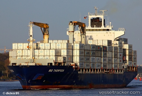
Vessel As Petronia IMO: 9286786, MMSI: 255806064 Container Ship
UTC, 41.35467, 2.17200, course: 27, speed: 0
UTC, 41.35468, 2.17200, course: 27, speed: 0
2026-02-21 08:27:21 UTC, 41.35466, 2.17201, course: 27, speed: 0
Live AIS position:
UTC. Near Barcelona),
updated 2026-02-21 08:27:21 UTC.
Find the position of the vessel As Petronia on the map. The latter are known coordinates and path.
marine traffic ship tracker show on live map
The current position of vessel As Petronia is 41.35466 lat / 2.17201 lng. Updated: 2026-02-21 08:27:21 UTCDetails:
Last coordinates of the vessel:
UTC, 41.35467, 2.17200, course: 27, speed: 0UTC, 41.35467, 2.17200, course: 27, speed: 0
UTC, 41.35468, 2.17200, course: 27, speed: 0
2026-02-21 08:27:21 UTC, 41.35466, 2.17201, course: 27, speed: 0