 vesseltracker.com
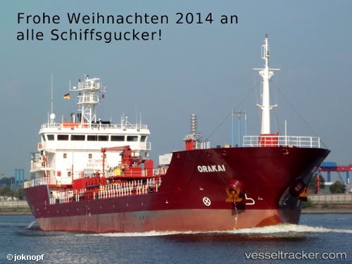
Vessel 255806225 IMO: 9402689, MMSI: 255806225
UTC, 36.11701, -5.36238, course: 270, speed: 3.7
UTC, 36.15169, -5.38369, course: 308, speed: 0.2
2026-01-16 22:48:19 UTC, 36.14784, -5.38357, course: 72, speed: 2.3
Live AIS position:
UTC. Near Waterport),
updated 2026-01-16 22:48:19 UTC.
Find the position of the vessel 255806225 on the map. The latter are known coordinates and path.
marine traffic ship tracker show on live map
The current position of vessel 255806225 is 36.14784 lat / -5.38357 lng. Updated: 2026-01-16 22:48:19 UTCDetails:
Last coordinates of the vessel:
UTC, 36.12208, -5.35997, course: 194, speed: 0.1UTC, 36.11701, -5.36238, course: 270, speed: 3.7
UTC, 36.15169, -5.38369, course: 308, speed: 0.2
2026-01-16 22:48:19 UTC, 36.14784, -5.38357, course: 72, speed: 2.3