 vesseltracker.com
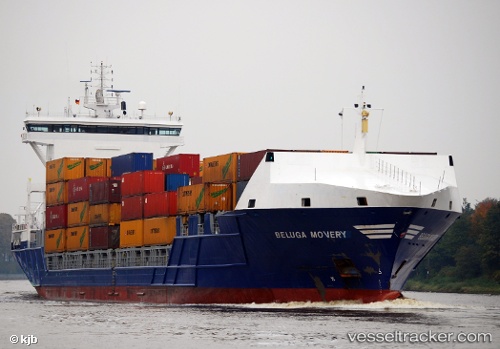
Vessel Lola B IMO: 9353723, MMSI: 255806261 Container Ship
UTC, 41.33734, 2.14975, course: 4, speed: 0
UTC, 41.33740, 2.14972, course: 4, speed: 0
2026-01-16 01:21:53 UTC, 41.33741, 2.14980, course: 4, speed: 0
Live AIS position:
UTC. Near Zona Franca de Barcelona),
updated 2026-01-16 01:21:53 UTC.
Find the position of the vessel Lola B on the map. The latter are known coordinates and path.
marine traffic ship tracker show on live map
The current position of vessel Lola B is 41.33741 lat / 2.14980 lng. Updated: 2026-01-16 01:21:53 UTCCurrently sailing under the flag of Portugal
Lola B built in 2007 year
Deadweight:
10750 tDetails:
Last coordinates of the vessel:
UTC, 41.33742, 2.14976, course: 4, speed: 0UTC, 41.33734, 2.14975, course: 4, speed: 0
UTC, 41.33740, 2.14972, course: 4, speed: 0
2026-01-16 01:21:53 UTC, 41.33741, 2.14980, course: 4, speed: 0