 vesseltracker.com
Live AIS position:
54.36917° N, 18.66578° E UTC. Near Gdansk),
updated 2025-11-20 07:26:51 UTC.
Find the position of the vessel Amber Sky on the map. The latter are known coordinates and path.
marine traffic ship tracker show on live map
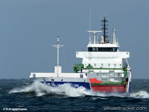
The current position of vessel Amber Sky is 54.36917 lat / 18.66578 lng. Updated: 2025-11-20 07:26:51 UTCCurrently sailing under the flag of Portugal
Amber Sky built in 2005 year
Deadweight:
5780 tDetails:
Last coordinates of the vessel:
UTC, 54.36911, 18.66583, course: 167, speed: 0UTC, 54.36915, 18.66574, course: 167, speed: 0
UTC, 54.36912, 18.66580, course: 167, speed: 0
2025-11-20 07:26:51 UTC, 54.36917, 18.66578, course: 166, speed: 0