 vesseltracker.com
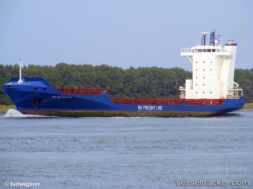
Vessel DIANA B IMO: 9344239, MMSI: 255806398 Container Ship
UTC, 38.71934, -9.11479, course: 219, speed: 0
UTC, 38.71934, -9.11479, course: -1, speed: 0
2026-03-01 17:49:54 UTC, 38.55684, -9.41671, course: 209, speed: 14.8
Live AIS position:
UTC. Near Trajouce),
updated 2026-03-01 17:49:54 UTC.
Find the position of the vessel DIANA B on the map. The latter are known coordinates and path.
marine traffic ship tracker show on live map
The current position of vessel DIANA B is 38.55684 lat / -9.41671 lng. Updated: 2026-03-01 17:49:54 UTCCurrently sailing under the flag of Portugal
Details:
Last coordinates of the vessel:
UTC, 38.71934, -9.11480, course: 220, speed: 0UTC, 38.71934, -9.11479, course: 219, speed: 0
UTC, 38.71934, -9.11479, course: -1, speed: 0
2026-03-01 17:49:54 UTC, 38.55684, -9.41671, course: 209, speed: 14.8