 vesseltracker.com
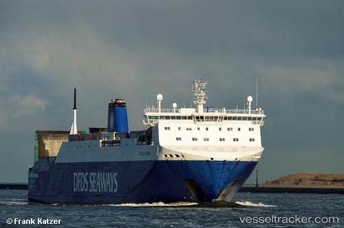
Vessel CORONA SEA IMO: 9357597, MMSI: 255814000 Vehicles Carrier
UTC, 54.13558, 11.33851, course: 61, speed: 18.4
UTC, 54.58226, 12.43625, course: 45, speed: 18.3
2026-03-04 02:21:54 UTC, 54.90452, 13.59217, course: 67, speed: 18.8
Live AIS position:
UTC. Near Neuendorf-Hiddensee),
updated 2026-03-04 02:21:54 UTC.
Find the position of the vessel CORONA SEA on the map. The latter are known coordinates and path.
marine traffic ship tracker show on live map
The current position of vessel CORONA SEA is 54.90452 lat / 13.59217 lng. Updated: 2026-03-04 02:21:54 UTCCurrently sailing under the flag of Portugal
Details:
Last coordinates of the vessel:
UTC, 53.89471, 10.80072, course: -1, speed: 6.5UTC, 54.13558, 11.33851, course: 61, speed: 18.4
UTC, 54.58226, 12.43625, course: 45, speed: 18.3
2026-03-04 02:21:54 UTC, 54.90452, 13.59217, course: 67, speed: 18.8