 vesseltracker.com
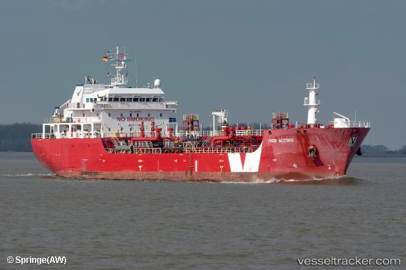
Vessel IVER ACCORD IMO: 9507972, MMSI: 255933000 Bitumen Tanker
UTC, 5.22167, -4.06333, course: -1, speed: 0
UTC, 5.22304, -4.06402, course: 239, speed: 0.2
2026-01-19 05:37:46 UTC, 5.22323, -4.06442, course: 200, speed: 0.1
Live AIS position:
UTC. Near Vridi),
updated 2026-01-19 05:37:46 UTC.
Find the position of the vessel IVER ACCORD on the map. The latter are known coordinates and path.
marine traffic ship tracker show on live map
The current position of vessel IVER ACCORD is 5.22323 lat / -4.06442 lng. Updated: 2026-01-19 05:37:46 UTCCurrently sailing under the flag of Madeira
IVER ACCORD built in 2010 year
Deadweight:
5897 tDetails:
Last coordinates of the vessel:
UTC, 5.22323, -4.06425, course: 218, speed: 0.2UTC, 5.22167, -4.06333, course: -1, speed: 0
UTC, 5.22304, -4.06402, course: 239, speed: 0.2
2026-01-19 05:37:46 UTC, 5.22323, -4.06442, course: 200, speed: 0.1