 vesseltracker.com
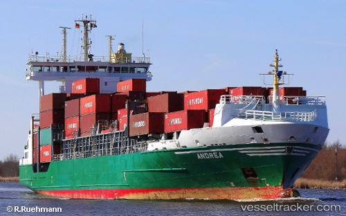
 ANDREA
Current Status
Where is the vessel?
ANDREA is currently in Near Almeria, based on AIS data received about 2h ago.
Latest AIS update:
Current position: 36.83227° N, 2.47367° W (Near Almeria)
Average speed (last 7 days): Loading…
Average speed (last 30 days): Loading…
Vessel profile: ANDREA is a Container Ship with dimensions m x m.
This page combines live AIS, route history, probable destination signals, nearby traffic, and port activity for practical vessel monitoring.
The current position of vessel ANDREA is 36.83227 lat / -2.47367 lng. Updated: 2026-03-25 09:35:30 UTCNearest reference points:
- Near Almeria
- Near AGUADULCE
- Near Las Noras de Daza
Currently sailing under the flag of Portugal ![]()
Details:
Live Vessel ANDREA Analytics (details, animations, etc.)
Recent AIS points (UTC):
2026-03-25 03:51:01 UTC · 36.83226, -2.47370 · SOG 0 kn · COG -1°2026-03-25 05:20:30 UTC · 36.83228, -2.47373 · SOG 0 kn · COG 132°
2026-03-25 08:05:30 UTC · 36.83226, -2.47369 · SOG 0 kn · COG 132°
2026-03-25 09:35:30 UTC · 36.83227, -2.47367 · SOG 0 kn · COG 132°