 vesseltracker.com
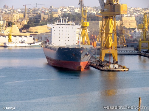
Vessel EMMA A IMO: 9308194, MMSI: 256042000 Container Ship
UTC, 35.79441, 32.06088, course: 271, speed: 18.9
UTC, 35.78788, 30.96002, course: 270, speed: 19.6
2026-02-04 15:59:33 UTC, 35.79306, 30.31697, course: 272, speed: 19.1
Live AIS position:
UTC. 31 nm S of Finike),
updated 2026-02-04 15:59:33 UTC.
Find the position of the vessel EMMA A on the map. The latter are known coordinates and path.
marine traffic ship tracker show on live map
The current position of vessel EMMA A is 35.79306 lat / 30.31697 lng. Updated: 2026-02-04 15:59:33 UTCCurrently sailing under the flag of Malta
EMMA A built in 2007 year
Deadweight:
38547 tDetails:
Last coordinates of the vessel:
UTC, 35.79909, 32.68406, course: 272, speed: 19.7UTC, 35.79441, 32.06088, course: 271, speed: 18.9
UTC, 35.78788, 30.96002, course: 270, speed: 19.6
2026-02-04 15:59:33 UTC, 35.79306, 30.31697, course: 272, speed: 19.1