 vesseltracker.com
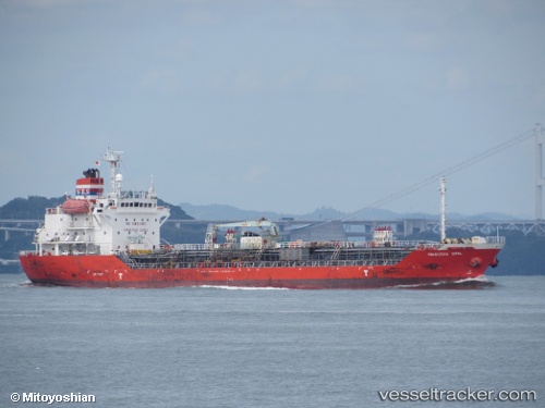
Vessel ALTAY IMO: 9276315, MMSI: 256257000 Oil/Chemical Tanker
UTC, 40.63414, 22.89006, course: 240, speed: 0
UTC, 40.63416, 22.89004, course: 240, speed: 0
2026-03-17 02:30:17 UTC, 40.63411, 22.89006, course: 240, speed: 0
Live Vessel ALTAY Analytics (details, animations, etc.)
Live AIS position: UTC. Near Thessaloniki), updated 2026-03-17 02:30:17 UTC.Find the position of the vessel ALTAY on the map. The latter are known coordinates and path.
marine traffic ship tracker show on live map
The current position of vessel ALTAY is 40.63411 lat / 22.89006 lng. Updated: 2026-03-17 02:30:17 UTCCurrently sailing under the flag of Malta
Details:
Last coordinates of the vessel:
UTC, 40.63412, 22.89009, course: 240, speed: 0UTC, 40.63414, 22.89006, course: 240, speed: 0
UTC, 40.63416, 22.89004, course: 240, speed: 0
2026-03-17 02:30:17 UTC, 40.63411, 22.89006, course: 240, speed: 0