 vesseltracker.com
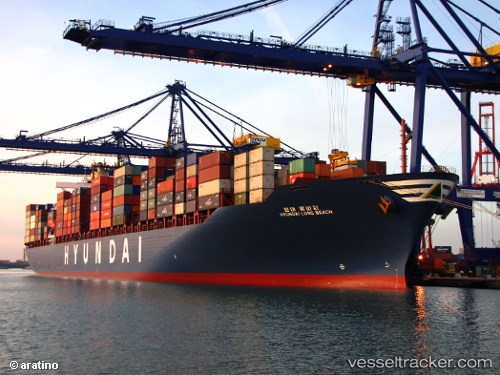
Vessel CMA CGM GEORGE SAND IMO: 9332884, MMSI: 256311000 Container Ship
UTC, 22.30600, 114.08324, course: 132, speed: 0.3
UTC, 22.30229, 114.08541, course: 24, speed: 0.3
2026-03-08 07:50:23 UTC, 22.30228, 114.08549, course: 25, speed: 0
Live Vessel CMA CGM GEORGE SAND Analytics (details, animations, etc.)
Live AIS position: UTC. Near Kennedy Town), updated 2026-03-08 07:50:23 UTC.Find the position of the vessel CMA CGM GEORGE SAND on the map. The latter are known coordinates and path.
marine traffic ship tracker show on live map
The current position of vessel CMA CGM GEORGE SAND is 22.30228 lat / 114.08549 lng. Updated: 2026-03-08 07:50:23 UTCCurrently sailing under the flag of Malta
Details:
Last coordinates of the vessel:
UTC, 22.33279, 114.11734, course: 343, speed: 0UTC, 22.30600, 114.08324, course: 132, speed: 0.3
UTC, 22.30229, 114.08541, course: 24, speed: 0.3
2026-03-08 07:50:23 UTC, 22.30228, 114.08549, course: 25, speed: 0