 vesseltracker.com
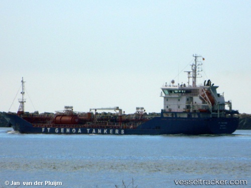
Vessel Ft Portoria IMO: 9561241, MMSI: 256328000 Chemical Oil Products Tanker
UTC, 40.47331, 0.98420, course: 219, speed: 10.4
UTC, 40.17175, 0.65814, course: 219, speed: 10.1
2026-03-14 06:09:12 UTC, 39.91434, 0.37997, course: 221, speed: 9.7
Live Vessel Ft Portoria Analytics (details, animations, etc.)
Live AIS position: UTC. 15 nm SE of OROPESA DEL MAR), updated 2026-03-14 06:09:12 UTC.Find the position of the vessel Ft Portoria on the map. The latter are known coordinates and path.
marine traffic ship tracker show on live map
The current position of vessel Ft Portoria is 39.91434 lat / 0.37997 lng. Updated: 2026-03-14 06:09:12 UTCCurrently sailing under the flag of Malta
Details:
Last coordinates of the vessel:
UTC, 40.84748, 1.15495, course: 188, speed: 10.7UTC, 40.47331, 0.98420, course: 219, speed: 10.4
UTC, 40.17175, 0.65814, course: 219, speed: 10.1
2026-03-14 06:09:12 UTC, 39.91434, 0.37997, course: 221, speed: 9.7