 vesseltracker.com
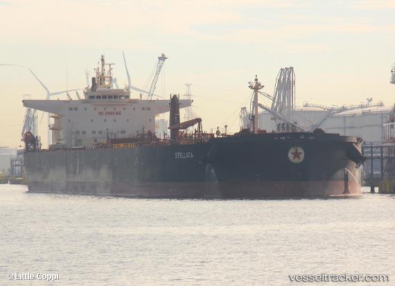
Vessel Stellata IMO: 9732230, MMSI: 256349000 Oil Products Tanker
UTC, 33.35693, 136.16724, course: 247, speed: 9.7
UTC, 33.24623, 135.99287, course: 236, speed: 10.1
2026-01-19 12:49:01 UTC, 33.14615, 135.78012, course: 251, speed: 9.7
Live AIS position:
UTC. 39 nm S of Minachi),
updated 2026-01-19 12:49:01 UTC.
Find the position of the vessel Stellata on the map. The latter are known coordinates and path.
marine traffic ship tracker show on live map
The current position of vessel Stellata is 33.14615 lat / 135.78012 lng. Updated: 2026-01-19 12:49:01 UTCCurrently sailing under the flag of Malta
Details:
Last coordinates of the vessel:
UTC, 33.40594, 136.21175, course: 220, speed: 12.4UTC, 33.35693, 136.16724, course: 247, speed: 9.7
UTC, 33.24623, 135.99287, course: 236, speed: 10.1
2026-01-19 12:49:01 UTC, 33.14615, 135.78012, course: 251, speed: 9.7