 vesseltracker.com
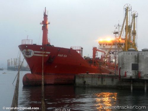
Find the position of the vessel Santa Lucia on the map. The latter are known coordinates and path.
marine traffic ship tracker show on live map
The current position of vessel Santa Lucia is 35.8914 lat / 14.7448 lng. Updated: 2024-05-03 01:43:23 UTCPayload_mass:
4816 tonneGross tonnage:
3408Service entry:
2003-01-01T00:00:00ZDetails:
Last coordinates of the vessel:
UTC, 35.8916, 14.7447, course: 304, speed: 0.1UTC, 35.8915, 14.7448, course: 304, speed: 0.2
UTC, 35.8914, 14.7448, course: 314, speed: 0.2
2024-05-03 01:43:23 UTC, 35.8914, 14.7448, course: 324, speed: 0.2