 vesseltracker.com
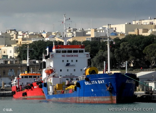
Vessel Balluta Bay IMO: 8013091, MMSI: 256489000 Oil Products Tanker
UTC, 35.83285, 14.55375, course: 144, speed: 0
UTC, 35.83288, 14.55377, course: 144, speed: 0
2026-03-03 13:46:24 UTC, 35.83287, 14.55375, course: 144, speed: 0
Live AIS position:
UTC. Near Delimara),
updated 2026-03-03 13:46:24 UTC.
Find the position of the vessel Balluta Bay on the map. The latter are known coordinates and path.
marine traffic ship tracker show on live map
The current position of vessel Balluta Bay is 35.83287 lat / 14.55375 lng. Updated: 2026-03-03 13:46:24 UTCCurrently sailing under the flag of Malta
Balluta Bay built in 1981 year
Deadweight:
3027 tDetails:
Last coordinates of the vessel:
UTC, 35.83285, 14.55373, course: 144, speed: 0UTC, 35.83285, 14.55375, course: 144, speed: 0
UTC, 35.83288, 14.55377, course: 144, speed: 0
2026-03-03 13:46:24 UTC, 35.83287, 14.55375, course: 144, speed: 0