 vesseltracker.com
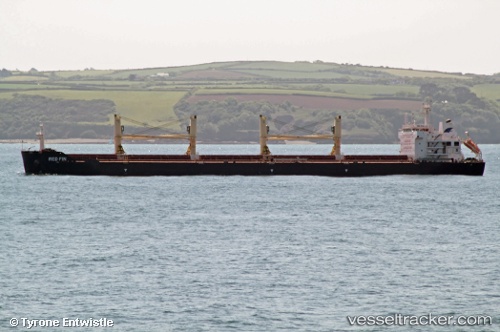
Find the position of the vessel Red Fin on the map. The latter are known coordinates and path.
marine traffic ship tracker show on live map
The current position of vessel Red Fin is -25.49146 lat / -48.52355 lng. Updated: 2025-10-09 20:31:29 UTCCurrently sailing under the flag of Malta
Red Fin built in 2011 year
Deadweight:
56780 tDetails:
Last coordinates of the vessel:
UTC, -25.49106, -48.52341, course: 113, speed: 0UTC, -25.49000, -48.52333, course: -1, speed: 0
UTC, -25.49175, -48.52357, course: 91, speed: 0
2025-10-09 20:31:29 UTC, -25.49146, -48.52355, course: 98, speed: 0