 vesseltracker.com
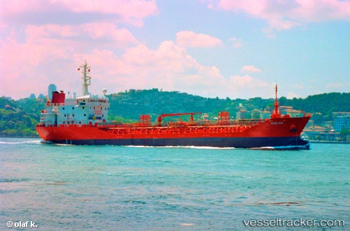
Find the position of the vessel Marmara on the map. The latter are known coordinates and path.
marine traffic ship tracker show on live map
The current position of vessel Marmara is 40.83593 lat / 29.19815 lng. Updated: 2025-10-21 04:36:46 UTCCurrently sailing under the flag of Malta
Marmara built in 1996 year
Deadweight:
4994 tDetails:
Last coordinates of the vessel:
UTC, 40.83587, 29.19814, course: 102, speed: 0UTC, 40.83588, 29.19821, course: 108, speed: 0
UTC, 40.83608, 29.19828, course: 124, speed: 0
2025-10-21 04:36:46 UTC, 40.83593, 29.19815, course: 109, speed: 0